A veneer of volcanoes and lava flows, known to geologists as the San Francisco Volcanic Field, cover an area fifty miles long and thirty miles wide around Flagstaff. Underneath all of it is a layer of limestone where sinkholes and caverns tend to form.
Orchid Paper
When I moved to Flagstaff in 1979 I found a job as
a mechanic at Orchid Paper on Butler Avenue. It is the same
property where SCA Tissue is now. At that time, next to
the steam boiler in the manufacturing plant, was a drain pipe that
dumped hot waste water down a natural opening in the ground
twenty-four hours a day, seven days a week. In the machine
shop next door, there was an unnatural hole in the poured
concrete floor where a six foot section of it had
collapsed three feet into the earth. There were orange cones
around the hole to keep workers from walking into
it. In the four years I worked there it was never filled in, but I hope SCA would have repaired it and stopped dumping waste water into the ground when they took the business over.
Citadel Sinkhole
The Citadel Sinkhole is the largest sinkhole in the San Francisco Volcanic Field at 600 feet long, 350 feet wide and 170 feet deep. Located inside the perimeter of Wupatki National Monument, hiking is not permitted into or around the sinkhole. There is a trail to the Citadel Indian Pueblo which overlooks the massive pit.

 |
| The sinkhole from the Citadel Pueblo looking south toward the San Francisco Peaks. |
A cavern formed in the Kaibab Limestone at the very edge of an old lava flow. The lava flow is the gray rock layer on top, the limestone is the white and red banded cliff below it. For the floor of the sinkhole to be 170 feet deep, the limestone cavern had to have been at least that tall.

Looking north toward the Citadel.
I wanted to walk to the Citadel overlook but a sign said no dogs allowed. I wanted to walk my border collie so I drove a half mile further down the road and pulled to the shoulder and walked across cinders to this location. When I returned to my vehicle park rangers were waiting for me. They told me no cross country travel was allowed anywhere in the park. They were very nice and only issued me a warning.
Arrowhead Sinkhole
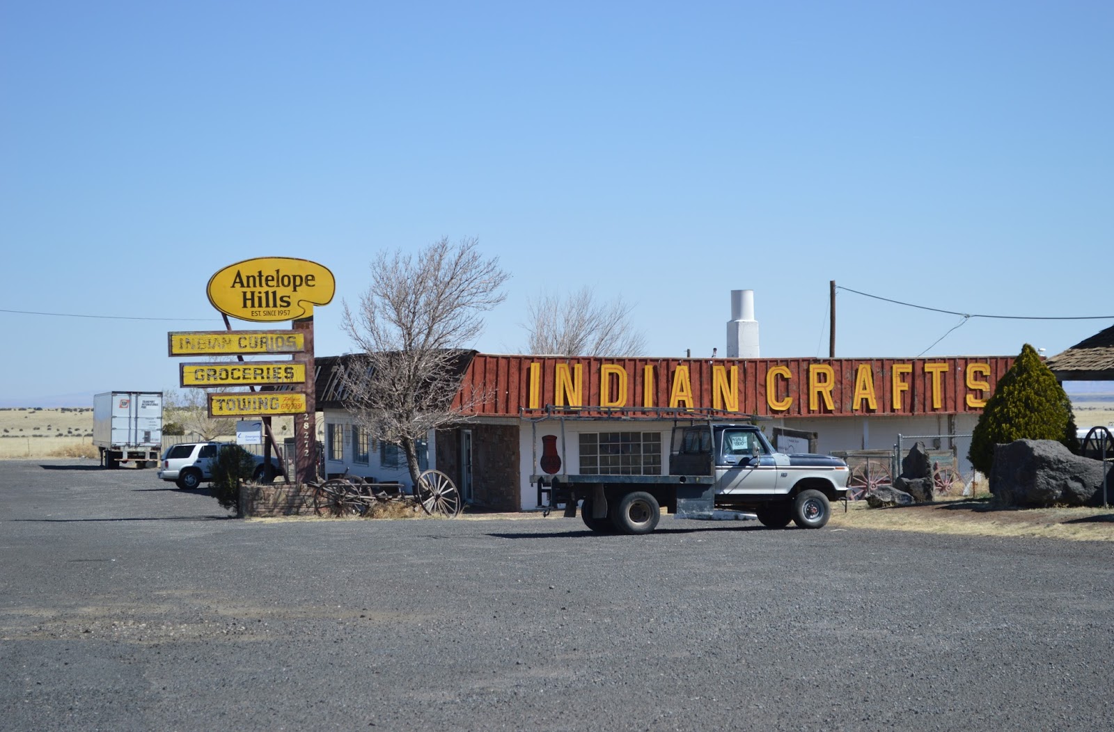
The Arrowhead Sinkhole is just outside the boundry line of Wupatki National Monument, so it is legal to drive to it and to hike there. On the south side of the Antelope Hills Trading Post follow the dirt road next to the fence line heading east. The is one short, rocky section you need a high clearance vehicle. Follow the fence for three miles to the end of the road at the foot of a lava flow. The sinkhole is on top of the hill.

Follow this road next to the Wupatki National Mounument boundry fence.

Hummm, which road to take?

After the rough section turn left on this road.

The parking area at the bottom of the hill.

A short walk up the hill is Arrowhead Sink.

I found this sinkhole while exploring on Google Earth.
This sinkhole is 500 feet long by 150 feet wide and 130 feet deep. Like Citadel Sinkhole this one also formed at the edge of a thick lava flow. Neither lava flow had poured into the holes so the cavities in the limestone formed after the flows were in place and the roofs collapsed later.

The stratigraphy at the Arrowhead Sinkhole is typical of most of the San Francisco Volcanic Field. This particular lava flow is about 80 feet thick but the lava gets thicker as you head west to the volcanic field around Williams.

For scale find the hiker standing at the bottom of the cliff.
South of Flagstaff the sinks are more numerous but smaller and some hold water in wet years. There are also many stock tanks. You can differentiate stock tanks from sinkholes by an earthen berm that encircles the tanks on the downhill side.
Most of the sinks are found in areas were the limestone hasn't been covered by lava flows. This suggests to me there are many more of them out there hidden from view underneath the patina of lava. The lava is highly fractured by shrinkage cracks that formed as it cooled from a molten state, thus rain can easily find a way through it down to the limestone below. Rain being acidic, particularly in our industrial society, dissolves the limestone. To our advantage Arizona is an arid state and cavities from slowly.
Sinks
There are several shallow, dry sinks scattered throughout the forest southeast of Mountainaire. They are mostly found in the grassy areas called 'parks' where trees don't seem to grow. Maybe they are too soggy during the wet seasons. There are also several sinks that hold water.

Saginaw Sink
Saginaw Sink is small and has clean water in it most of the time. I have found it empty in the driest years. It is located .4 miles southwest of the Flagstaff community of Mountainaire.

Quarry Sink
Quarry Sink has water in it during the winter and spring but dries up during the summer months. It is located 300 feet east of Highway 89A, 1.9 miles south of the entrance to the Forest Highlands gated community. It is hidden by pine trees and not easily seen from the highway. You must crawl under a barbed wire fence to get to it.

Crusher Sink.

Crusher Sink.
Crusher Sink is also near Highway 89A. It is well hidden up the side of a hill overlooking an ugly, abandoned gravel mine. It's 150 feet wide and always has water in it. It's one of my favorite places to go to photograph dragonfly's and just relax.
Anderson Mesa Sinks
Anderson Mesa southeast of Flagstaff is a limestone horst bounded on the south side by the Anderson Mesa Fault and Lake Mary which lies in a graben.

There are many small lakes and ponds on top of the mesa that are being charged by water seeping through subterranean channels from Mt Elden and the San Francisco Peaks. I believe most of these if not all are shallow sinks. This would include Marshall Lake, Vail Lake, Deep Lake, Ashurst Lake and a dozen more smaller ones.

Anderson Mesa
I noticed Saginaw Sink on the 7.5 Topo Quad (digital DRG in CalTopo.com) and found this info. Thanks for sharing. Quite interesting.
ReplyDelete