Black Basin is a starkly beautiful sea of black cinders surrounded by cinder hills and volcanoes. It is partly inside the Sunset Crater Volcano National Monument but most of it is outside the parks boundaries. It's an area very few people ever visit. A barbed wire fence marks the park boundary and north of the fence hiking is permitted. There are no signs and no trails but you can climb a cinder cone if you have the inclination.
 |
| Sunset at Black Basin |
The light, airy cinders are blown about by powerful winds racing down the leeward side of San Francisco Mountain. Cinder waves several feet high collected in the basin forming the cinder sea pictured below. Most of that area is protected behind a barbed wire fence to keep people from walking on it.
 |
| A sea of cinder waves. |
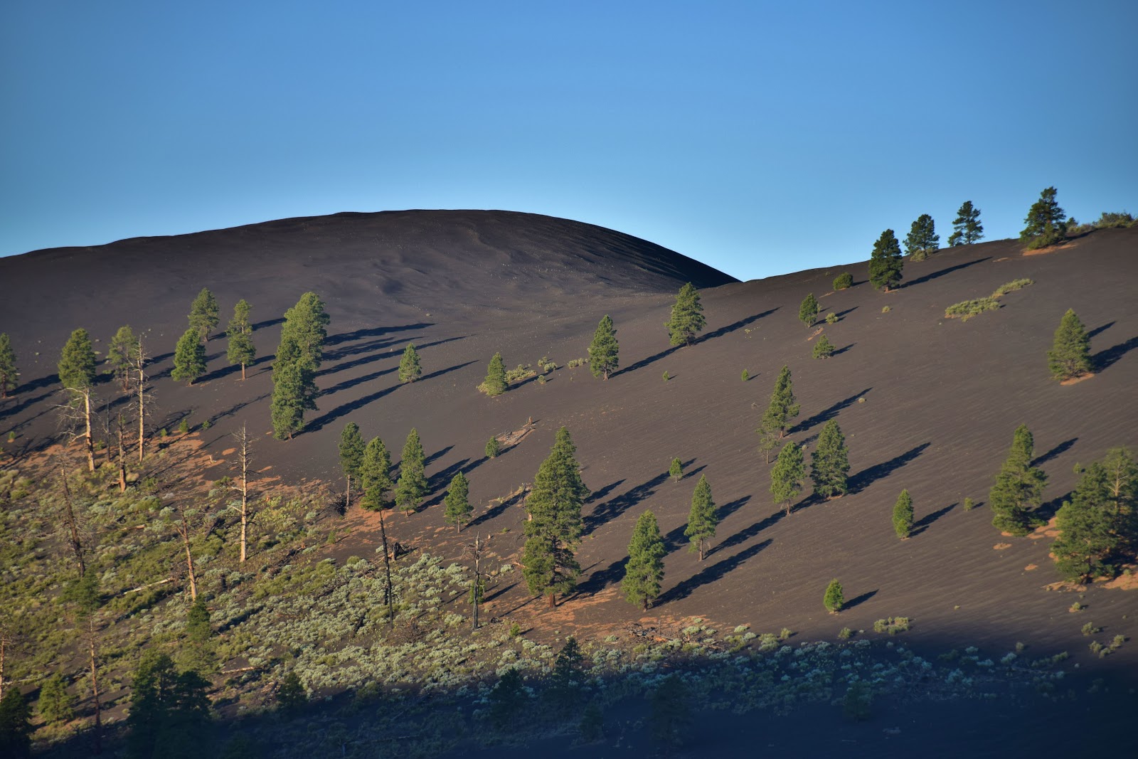
Two black parabolic cinder dunes are slowly creeping up the side of a very steep cinder hill I call Red Cone. It may never reach the top as the wind is slowed and the source material stabilized by the slowly ever increasing vegetation.
 |
| A parabolic dune has nearly reached the top of Red Cone. |
 |
| Parabolic Dunes |
 |
| The black dune crest near the top of Red Cone. |
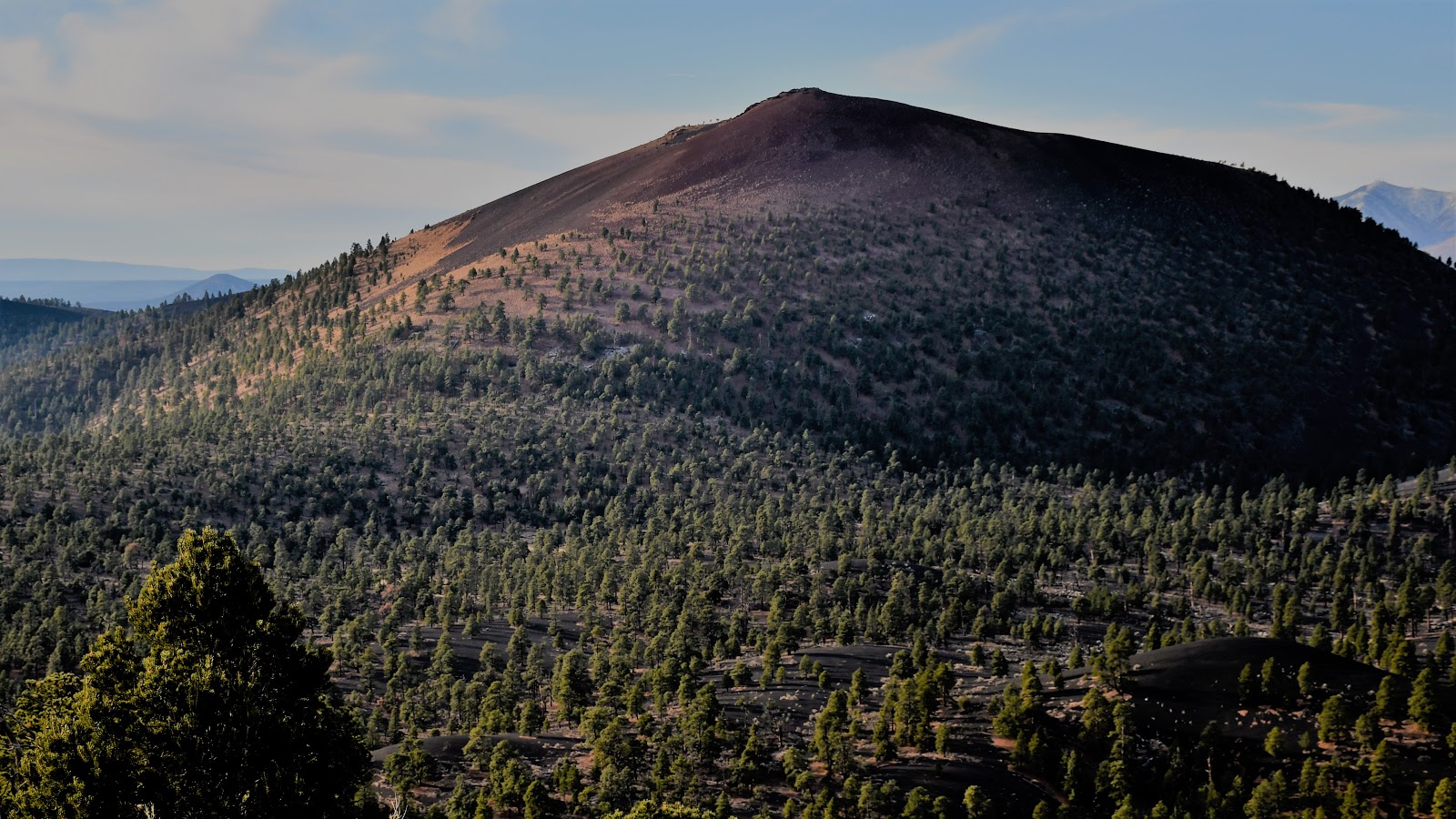
Snow hadn't fallen at Black Basin so on December 20th, 2016 I drove from Flagstaff to the base of Red Cone. Starting at sunrise I made the 600 foot climb through the trees to the top of the mountain. The scenery was spectacular in all directions and I'd say it's the best view of the eastern San Francisco Volcanic Field to be found.
 |
| The back side of Sunset Crater cinder cone to the south. |
 |
| The San Francisco Peaks stratovolcano to the southwest. |
 |
| O' Leary Peak volcanic dome and fire watch tower to the west. |
 |
| Black Basin cinder hills to the northwest. |
 |
Strawberry Crater cinder cone and the Little Colorado
River Valley in the background to the northeast. |
 |
| Black Mountain cinder cone to the northeast. |
 |
| I found a geocache in a glass jar under a small rock cairn at the top of Red Cone. |
At the top of Red Cone there was a spot where limestone had extruded out of the ground. Limestone pebbles litter the ground where a mammal dug out its borrow. Limestone is a common constituent of many of the volcanoes in the San Francisco Volcanic Field. There is a 350 foot thick layer of it under the entire area that is included in the mix as the volcanoes erupted.
 |
| Limestone extrusion. |
 |
| White limestone pebbles dug out of an animal burrow. |
The Cinder Hills Off Highway Vehicle play area and Merriam Crater were to the east but so was the sun so I couldn't take decent photos in that direction.
There is another worthwhile hike up to the cinder ridge separating the basin from Sunset Crater Park. The natural earthen ramp on the side of Darton Dome makes for an easy route. There isn't a trail but there is soil which is much easier to walk on.
 |
| The ramp is the row of large pine trees. |
Some massive boulders litter the ramp and smaller rocks are scattered out on the cinder field. Those rocks seem to be out of place to me.
 |
| Massive boulder on the ramp. |
 |
| Boulder and cobbles on the cinder field. |
I totally understand that the giant boulder on the ramp most likely rolled down the radically steep slope of Darton Dome, but I have a problem believing the rocks out on the cinder sea could roll so far from the mountain.
The ramp itself is an odd feature too. There a natural trough that runs between it and the mountain side. I think it likely that the ramp and rocks were deposited during the last ice age.
During the Pleistocene epoch between 10,000 and 2.6 million years ago glaciers scoured the high mountains even in Arizona. I think it likely the ramp is a terminal moraine and the trough is a tarn but without the lake. The rocks out in the cinder field were carried down by snow avalanches racing down the headwall and out onto the cinder field.
If you continue hiking up the ramp you will come to the cinder ridge. Walk only on the crest of the ridge and not on the side facing Sunset Crater and the park. The view of the Bonito Lava Flow and the San Francisco Peaks is astounding.
 |
| The cinder ridge. In a shaded patch of snow I found bear tracks. |
 |
| The Bonito Lava Flow and San Francisco Peaks. |
Getting to Black Basin
Forest Service Road 546 (FS Rd 546) is exactly at the park boundary heading towards Wipatki Indian ruins. It is in good condition; however, it is a single lane road and if you pull off into the cinders you will get stuck. Take a four-wheel drive vehicle.
 |
| The east boundary sign. |
It is 2.6 miles to the Wildlife Water Hole which is a big sheet of metal that channels water into a concrete cistern. Park here. There is a closed road on the left which leads to Black Basin in about half-a-mile.
 |
| FS Rd 546 |
Go where you want from there but a barbed wire fence marks the national monument and you should not cross it. Neither hike is long but climbing the red cinder cone is difficult. It is 600 feet tall at an elevation of 7500 feet.
This place is too hot in the summer but late fall and in the spring it is ideal if there isn't to much snow. It melts quickly on the black cinders but deep drifts can linger in the shady spots and block the road.
Note: You won't find the name Black Basin on any map and the forest rangers at Sunset Crater won't know about it by that name either. It is a name I gave to it because it is... black you know.
 |
| Black Mountain. It looks like a zebra. |
Sometime in the early 1980's a powerful storm dropped about a foot of snow in Black Basin. A friend and I cross country skied from the highway, climbed 800 feet up Black Mountain and skied back down. It was quite a treat.
 |
| Alpine glow on the cinder hills separating the park from Black Basin. |
 |
| Snow blows off the wave crests and fills the troughs between the waves. |
 |
| Sunrise over Sunset Crater Volcano National Monument. |


Great material, Professor.
ReplyDelete